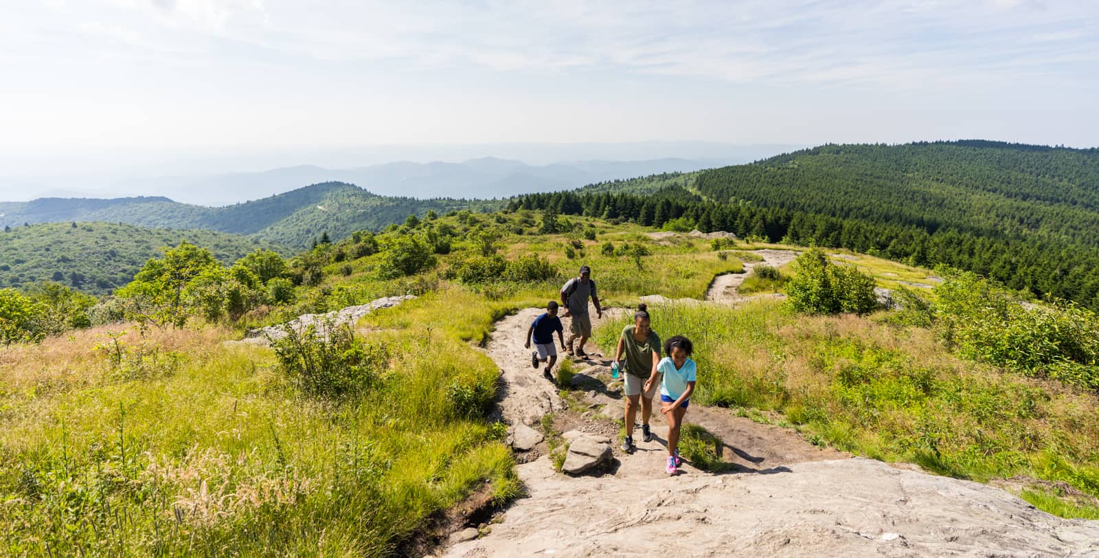
There’s nothing quite like the NC Smokies: the fresh air is abundant and you’re more ready than ever to get out into some wide open, uncrowded spaces and start adventuring. If you’re looking for easy hiking trails in the area, you’re in luck. Haywood County offers a variety of options, ranging from trails close to town to those up on the mountain. Whether you prefer a leisurely stroll or a more challenging trek, these trails are perfect for hikers of all levels. So grab your gear, pack a picnic basket, bring your favorite hiking buddy, and get ready to explore the sights of the Smoky Mountains. What are you waiting for? Let’s hit the trails!
Black Balsam Knob via Art Loeb Trail
Difficulty Level: Easy
Length: 0.7 Miles (from the Blue Ridge Parkway on Black Balsam Road)
This treeless bald is a perfect short hike for families, day hikers, picnickers, photographers, and those looking to summit surrounding peaks. The hike to the top is brief, and the views at the summit are so mesmerizing, they’ll make the decision to head back in for the night a tough one. After a short and steady climb in elevation through magnificent Balsam Fir trees, Black Balsam Knob will come into view. There, you’ll see a rocky landscape covered in wildflowers, blueberries, and blackberries—along with a 360-degree view of the surrounding mountain ranges. There are several other trails with spectacular views near Black Balsam Knob, should you care to extend your hike. Pisgah Ranger District Maps are available for purchase at our Visitor Center or your local outdoor retailer if you’d like more information on how to make loop hikes.
Lake Junaluska Walking Trail
Difficulty Level: Easy
Length: 2.3 or 3.8 mile loop
Experience the tranquil beauty of Lake Junaluska as you leisurely stroll along the beloved Walking Trail, surrounded by stunning mountain views. The paved, mostly flat trail offers two options: a 3.8-mile loop along the highway, allowing you to explore historic buildings and sites, or a shorter 2.3-mile walk crossing the Turbeville Footbridge and the bridge above the dam. Don’t forget to take a moment to rest at the gazebos and benches along the way and make sure to explore the captivating Rose Walk featuring over 200 roses. Hungry after your walk? Check out Crepe & Custard by the pool area for some delicious sweet or savory delights.
Dahlia Ridge Trail
Difficulty Level: Easy
Length: 3.5 miles (made up of multiple short connector trails)
The Dahlia Ridge Trail at Haywood Community College is a versatile and family-friendly trail that offers an enjoyable outdoor experience for all. What makes it even better is that you can customize your trek by exploring its various connector trails, allowing you to make your adventure as long or as short as you desire. This trail system is perfect for families looking for a scenic and leisurely hike, and it also welcomes dogs, so you can bring your furry friend along for the fun. Whether you prefer a leisurely stroll or a nice run, the Dahlia Ridge Trail and its connector paths provide ample opportunities to enjoy nature at your own pace while taking in the beautiful surroundings. To help you plan your adventure, an interactive map is available where you can explore the different trails or you can find this printed map displayed around campus.
Max Patch
Difficulty Level: Easy
Length: 1.5 Miles
If you’re looking for the perfect spot to stargaze, watch a sunrise or sunset, or have a romantic mountaintop picnic, take your crew to Max Patch. This relatively short loop hike is a family-friendly, fan-favorite destination that sits on the North Carolina/Tennessee border. You can also access several other trails on the Blue Ridge Parkway from this spot. Take a short hike up a slight incline to enjoy incredible views like the one above, and find out why this grassy bald is beloved by hikers, dogs, and families. Stop into nearby Clyde, NC to fuel up for your Max Patch hike at one of our restaurants, or to recharge afterward.
Graveyard Fields Loop
Difficulty Level: Easy
Length: 1.3 Mile Loop
Believe it or not, the name Graveyard Fields comes from the appearance of the landscape after logging and fire destroyed much of the forest and soil: the tree stumps left behind looked like gravestones. Don’t let the name scare you off—this popular hike sits off the Blue Ridge Parkway and has access to not just one, but two beautiful waterfalls. The Lower Falls is just a third of a mile from the parking area but does have a few uphill sections on your walk back. From the multi-tiered second falls, you can continue on a farther trek to the tall cascades of the upper falls if you’re looking for more of a challenge. The trail winds through a stream-filled valley filled with wild blackberry and blueberry bushes that burst with fruit in the late summer months. Graveyard Fields makes for one unforgettable hike.

After your invigorating hike, take a moment to relax in one of our vibrant mountain towns. Indulge in a delicious meal or enjoy a locally crafted brew as you soak in the charm of Maggie Valley, Waynesville, Lake Junaluska, Canton, or Clyde. Come make your vacation unforgettable in the NC Smokies!


